OAP Shared Use Path Project
Oceanside Action Partnership (OAP)
October 28, 2026
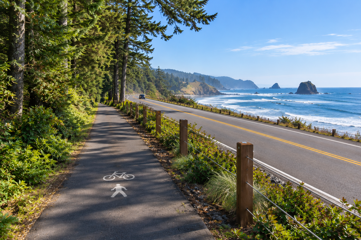
Building Connections Between Cape Meares, Oceanside, and Netarts
Exciting Progress on a Long-Term Community Vision!
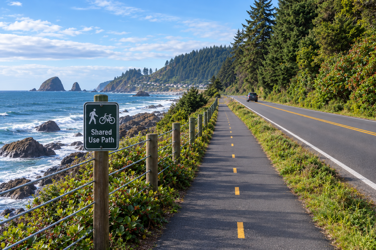
The Oceanside Action Partnership (OAP) is pleased to share significant progress on our proposed Shared Use Path, an ambitious, long-term initiative to create a safer, more accessible pedestrian and bicycle pathway extending from Fall Creek to the Cape Meares Lighthouse, connecting the communities of Netarts, Oceanside, and Cape Meares. This is a summary of the work completed to date.
This project has been in the conceptual and planning stages for several years. Thanks to the dedication of our OAP Shared Use Path Team, community supporters, agency representatives, and funding partners, we have made considerable progress toward transforming this community vision into reality.
We are now entering an important new phase: building broader awareness, strengthening partnerships, identifying funding opportunities, and establishing priorities for moving individual segments forward.
Our Progress to Date
Over the past several years, OAP has accomplished several important milestones:
- Community Priorities: Conducted community workshops that identified the Shared Use Path as one of our community's highest priorities, reflecting strong interest in safer pedestrian and bicycle connections.
- Agency Communication: Kept Tillamook County Public Works, all three Tillamook County Commissioners, and Oregon Parks and Recreation Department (OPRD) informed of our planning efforts and progress.
- Engineering and Planning: Completed a preliminary Concept Design Study and GIS survey with DOWL Engineering, funded through a Tillamook County Transient Lodging Tax (TLT) Facilities Grant. This work provides an important foundation for evaluating potential pathway alignments and future development.
- ODOT Coordination: Held in-person meetings with Oregon Department of Transportation representatives Carolyn Crisp, Angela Rogge, and Mark Buffington to discuss the proposed route, transportation safety, and opportunities for collaboration.
- Long-Range Transportation Planning: Successfully secured inclusion of the proposed Shared Use Path in the Tillamook County 20-Year Transportation Plan. This is an important planning milestone that recognizes the project within the county's long-range transportation vision. However, inclusion in the plan does not constitute project approval, construction authorization, or a commitment of funding.
These accomplishments represent meaningful progress, but we recognize that developing a pathway of this scale will require continued collaboration, additional engineering, funding, permits, and considerable patience.
One Vision, Many Manageable Projects
The proposed Shared Use Path extends through a diverse coastal landscape involving multiple roads, neighborhoods, public lands, and agency jurisdictions.
Rather than approaching the entire pathway as one enormous construction project, OAP has divided the proposed route into smaller, more manageable segments.
This approach allows us to:
- Establish priorities based on community needs, pedestrian safety, and project feasibility.
- Work with the appropriate agencies and landowners on individual segments.
- Identify funding opportunities suited to specific improvements.
- Advance segments independently as partnerships, funding, and approvals become available.
- Build toward the larger vision through a series of achievable projects.
Individual segments will have descriptive working names to help organize planning, identify priorities, and communicate progress.
We have not yet determined which segment will advance to construction first. That decision will depend on several factors, including feasibility, agency cooperation, landowner permissions, available funding, and the potential benefits to our community.
We believe that a thoughtful, phased approach offers the most practical opportunity to achieve this ambitious vision.
We don't have to build the entire pathway at once to begin making a meaningful difference.
A Community Naming Contest: Help Give Our Vision an Identity!
As our planning advances, we have invited the community to help select a recognizable, unifying name for the overall Shared Use Path project connecting Cape Meares, Oceanside, and Netarts.
The goal is to establish a name that reflects the natural beauty, character, and shared identity of our three coastal communities.
Importantly, this is a community naming initiative, not an attempt by OAP to formally designate or rename an existing public trail.
The community-selected name will serve as the working name and identity for OAP's overall improvement initiative, helping us build public recognition, communicate our vision, and pursue future funding opportunities.
Any official trail designation, including names appearing on public signage or within agency-managed rights-of-way, would be developed in coordination with the appropriate agencies and landowners and remain subject to their respective approval processes.
Naming Contest Reminder: Everyone is welcome to participate! Entries must reflect the Cape Meares, Oceanside, and Netarts region, cannot include personal names, and are limited to one submission per person. Prizes will be awarded.
Submission Deadline: December 1, 2026
Email your suggested name to info@oceansideactionpartnership.org.
Complementing the Oregon Coast Trail
An important consideration in our planning is the relationship between the proposed Shared Use Path and the existing Oregon Coast Trail (OCT).
Portions of our proposed pathway generally align with the Oregon Coast Trail corridor. The OCT is an established statewide trail system, and we fully respect its identity, significance, and the responsibilities of the agencies that manage it.
Our research confirms that portions of the Oregon Coast Trail already have established local trail names and identities while remaining part of the larger statewide trail system.
We envision our Shared Use Path complementing the Oregon Coast Trail, not replacing or competing with it.
One of our principal objectives is to improve pedestrian and bicycle safety along portions of Cape Meares Loop Road and Highway 131, where adequate separated pathways do not currently exist.
While the Oregon Coast Trail is primarily a hiking route, our Shared Use Path initiative seeks to create safer opportunities for both pedestrians and bicyclists, including residents and visitors traveling between our coastal communities.
Our proposed project would preserve and respect the existing Oregon Coast Trail designation while pursuing additional safety, accessibility, and connectivity improvements where feasible.
Partnerships Will Be Essential to Success
The proposed route involves multiple jurisdictions and landownership interests, including:
- Tillamook County
- Oregon Department of Transportation (ODOT)
- Oregon Parks and Recreation Department (OPRD)
- U.S. Fish and Wildlife Service (USFWS)
- Potential nonprofit and private timberland owners
Many of these organizations are already OAP partners or supporters, and we have engaged directly with several agencies throughout our planning efforts.
However, we recognize that keeping agencies informed is different from securing formal participation or project approval.
As we transition from conceptual planning toward development of individual segments, direct coordination with each affected agency and landowner will become increasingly important.
Each segment will require its own evaluation of engineering feasibility, environmental and cultural resource considerations, landowner permissions, permitting requirements, funding, and long-term maintenance responsibilities.
Our objective is to build cooperative relationships that allow each segment to advance responsibly, with appropriate participation and approval from the entities involved.
What's Next? Turning Planning Into Opportunities
We are now at an important stage in this long-term undertaking.
We have established a conceptual route, completed preliminary engineering and GIS work, and achieved recognition in the county's long-range transportation planning.
Although no construction funding commitments have been secured and no segment has been authorized for construction, these planning accomplishments provide a valuable foundation for the next phase of our work.
Our immediate priorities are to:
1) Strengthen Partnerships: Bring together the appropriate public agencies, landowners, community organizations, and other stakeholders to explore opportunities for collaboration.
2) Evaluate and Prioritize Segments: Continue assessing individual pathway segments based on safety benefits, feasibility, community needs, agency requirements, and potential funding opportunities. No decision has yet been made regarding which segment will proceed first.
3) Identify and Pursue Funding: Research grants, public funding programs, and other potential financial resources for additional engineering, design, permitting, and eventual construction. Although we have successfully obtained funding for preliminary planning work, we have not yet secured commitments to fund construction of any segment.
4) Advance Project Readiness: Identify the engineering, environmental reviews, landowner agreements, permits, and other approvals that would be necessary before any segment could proceed toward construction.
5) Build Community Awareness and Support: Continue sharing progress, welcoming new participants, and encouraging community involvement in this long-term vision.
Our focus is on taking the next practical steps that will position individual segments for future funding and implementation when opportunities become available.
Help Us Build the Connections!
This is an ambitious undertaking, and we recognize that it will not happen overnight. The proposed pathway crosses multiple jurisdictions, presents engineering and environmental challenges, and will require substantial financial resources.
But every major community improvement begins with a vision, followed by careful planning, committed partnerships, and steady progress.
We have already taken several important steps. Now it's time to build on that momentum!
We welcome the involvement of residents, property owners, agency representatives, businesses, and community organizations who share our interest in improving pedestrian and bicycle safety and connecting our beautiful coastal communities.
If you would like to participate, offer expertise, share ideas, or learn more about the project, please contact the OAP Shared Use Path Team at info@oceansideactionpartnership.org.
Together, one segment at a time, we can turn this community vision into a lasting improvement for generations to come.